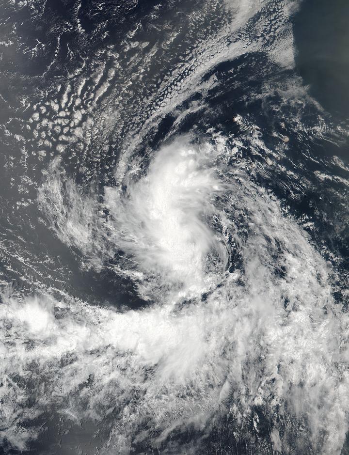
Tropical Storm Gaston was forming in the northeastern Atlantic Ocean
On Aug. 22 at 11:30 a.m. EDT (1530 UTC) the Visible Infrared Imaging Radiometer Suite (VIIRS) instrument aboard NASA-NOAA’s Suomi NPP satellite captured an image of System 90L as it was strengthening and organizing. The image showed the system was developing a well-defined circulation and still consolidating. The image also revealed a large band of thunderstorms wrapping into the low-level center from the north of the center.Tropical Storm Gaston was forming in the northeastern Atlantic Ocean
By 5 p.m. EDT (2100 UTC) that tropical low pressure area organized into a depression west-southwest of the Cape Verde Islands. It was the seventh tropical depression of the Atlantic Ocean Hurricane season. Six hours later the depression reached tropical storm status and was named Gaston.
At 5 a.m. (0900 UTC) on Aug. 23 the center of Tropical Storm Gaston was located near 13.2 degrees north latitude and 32.4 degrees west longitude. Gaston is about 54 miles (880 km) west of the southernmost Cape Verde Islands so there are no watches and warnings in effect.
Gaston was moving toward the west-northwest near 20 mph (31 kph) and the National Hurricane Center said this general motion with a slight decrease in forward speed is expected during the next couple of days. Maximum sustained winds have increased to near 50 mph (85 kph) with higher gusts.
Additional strengthening is forecast, and Gaston is expected to become a hurricane by Wednesday.
For updates on Gaston, visit the NHC website: http://www.


