Satellite spots remnants of Ex-Tropical Cyclone Celia
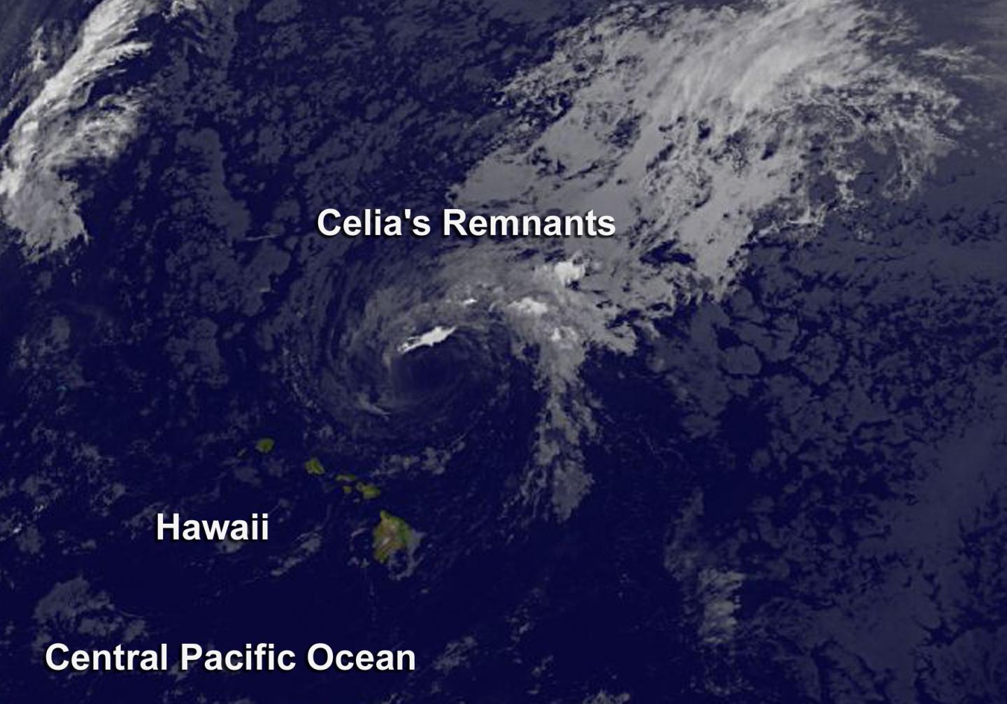
Satellite spots remnants of Ex-Tropical Cyclone Celia. Tropical Cyclone Celia weakened to a remnant low pressure area. NOAA’s GOES-West satellite provided an infrared look at the clouds associated with the low.
GOES-West captured an infrared image of Celia’s remnant clouds at 1500 UTC (11 a.m. EDT). The image showed an open circulation with the bulk of clouds to the northeast of the low-level center. NOAA manages the GOES series of satellites, and the NASA/NOAA GOES Project at NASA’s Goddard Space Flight Center in Greenbelt, Maryland uses the data to create images and animations.
OAA’s Central Pacific Hurricane Center said that a surface low, the remnant of ex-Tropical Cyclone Celia, was centered about 300 miles northeast of Honolulu on July 18 at 1:50 a.m. HST (7:50 a.m. EDT). The remnant low pressure area was moving to the west at 10 mph. Satellite spots remnants of Ex-Tropical Cyclone Celia
Atmospheric conditions are not conducive for tropical cyclone redevelopment. The chance for development is near zero over the next two days. Although the tropical storm has developed a long the way it has caused massive amounts of damage and surrounding areas. Also the Central Pacific is known to have a lot of strong storms causing disasters and nature changing.


