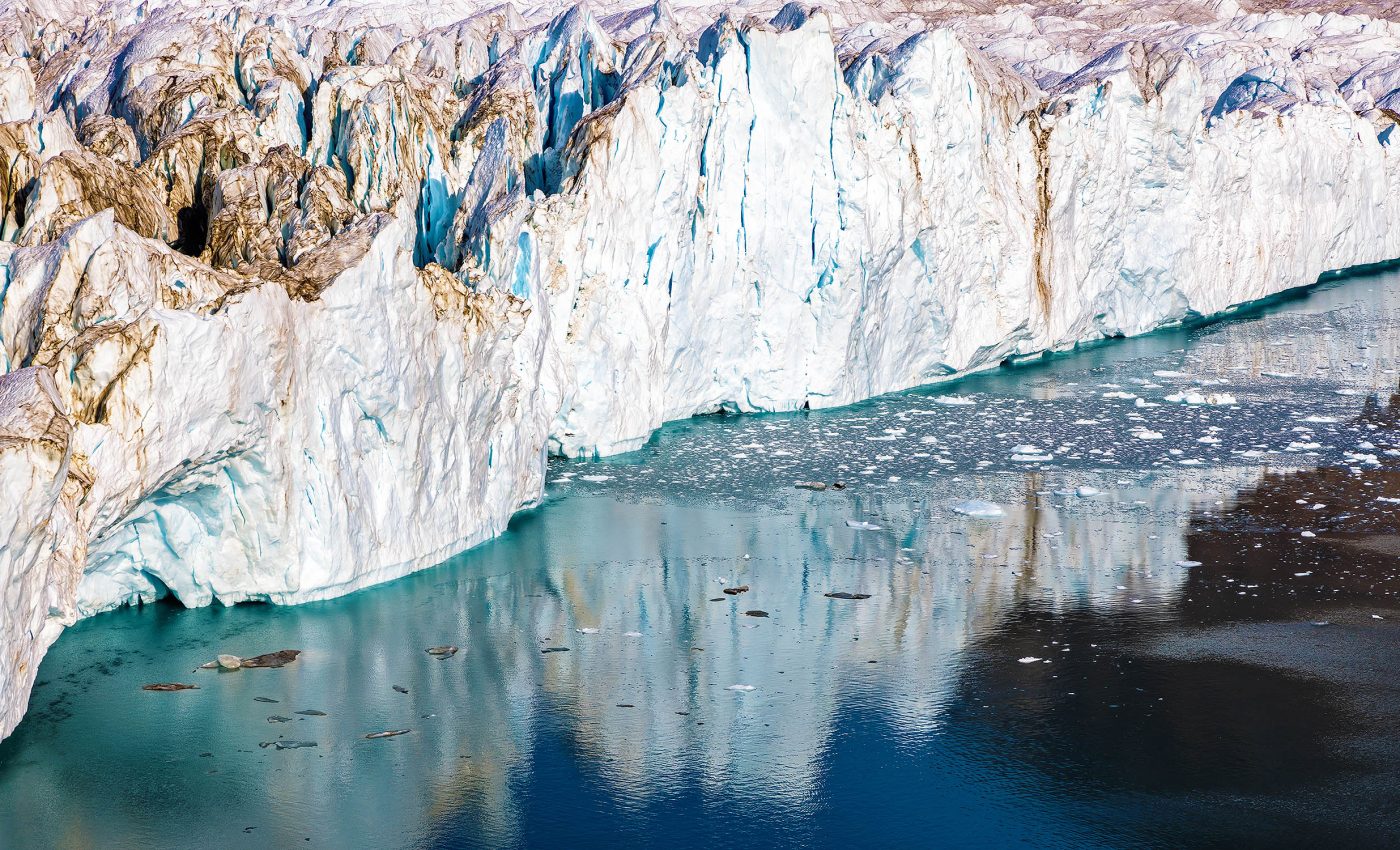
NASA records a 650-foot tsunami in Greenland that shook the Earth for 9 days
Tsunamis are powerful natural phenomena capable of reshaping entire coastlines. Modern technology is now capable of helping scientists to study them in remarkable detail.
The ability to monitor and analyze these massive waves in real-time has revolutionized our understanding of their behavior and impact, providing invaluable data that can inform safety protocols and predictive models.
This technological prowess recently helped unravel the nine-day-old reverberations of a tsunami in Greenland, a rare and complex event captured by the International SWOT Satellite.
The satellite’s advanced imaging capabilities revealed unprecedented insights into how the tsunami waves moved and persisted within the steep walls of Dickson Fjord, thereby contributing significantly to the field of oceanography.
First things first — what’s a tsunami?
Tsunamis are a massive series of ocean waves that can cause a whole lot of trouble when they hit land.
These waves aren’t like the regular ones you surf on — they’re much bigger and can travel very fast across the ocean.
When they reach the shore, they can flood coastal areas and cause serious damage.
Now, what causes tsunamis? Well, they’re usually triggered by underwater disturbances like earthquakes, volcanic eruptions, or even landslides.
When the ocean floor suddenly moves, it displaces a huge amount of water, and that energy creates waves that spread out in all directions. Essentially, it’s the sudden movement under the sea that sets off these giant waves.
SWOT satellite tsunami discovery
At the core of this investigation were scientists from NASA’s Jet Propulsion Laboratory in Southern California and France’s CNES (Centre National d’Etudes Spatiales).
These dedicated professionals collaborated on the international Surface Water and Ocean Topography (SWOT) satellite mission.
Their joint efforts led to the discovery of unique shapes formed by tsunamis trapped within the steep walls of Greenland’s Dickson Fjord.
A picture paints a thousand words
On September 17, 2023, the day following a massive rockslide, the SWOT satellite was at the right place at the right time, collecting water elevation measurements in the Dickson Fjord.
By comparing these measurements with those recorded a few weeks prior, the scientists got a clear image of the aftermath of the tsunami.

The SWOT satellite captured a colored data visualization, indicating higher water levels with lighter colors and lower levels with darker tones.
The findings suggested that the northern side of the fjord reached certain points where water levels were almost 4 feet (1.2 meters) higher than on the southern side.
Milestone in the field of research
Astoundingly, this was the first instance where the SWOT satellite had the opportunity to examine the shape of a tsunami wave.
“SWOT happened to fly over at a time when the water had piled up pretty high against the north wall of the fjord,” said Josh Willis, a sea level researcher at NASA’s Jet Propulsion Laboratory in Southern California.
“Seeing the shape of the wave – that’s something we could never do before SWOT.”
Tracing the origins of the tsunami
A paper published recently in Science traced the seismic signals of the tsunami back to its roots.
More than 880 million cubic feet of rock and ice, equivalent to 25 million cubic meters, had plummeted into Dickson Fjord, triggering the tsunami that sloshed around within the fjord.
The fjord is a part of a network of channels on Greenland’s eastern coast, with the depth of about 1,772 feet (540 meters) and width of 1.7 miles (2.7 kilometers), while its walls tower over 6,000 feet (1,830 meters) high.
Interestingly, because the fjord is far from the open ocean and confined, the energy from the tsunami’s motion had limited opportunities to dissipate.
This resulted in the wave moving back and forth approximately every 90 seconds for a surprising duration of nine days.
These findings demonstrate how modern technology can help us unravel nature’s mysteries. The international SWOT satellite, through its unique capabilities, has managed to provide us with a fresh understanding of tsunamis and their prolonged effects.
Satellite technology and monitoring tsunamis
The SWOT satellite’s ability to capture and analyze detailed water elevation data showcases the immense potential of satellite technology in monitoring natural disasters.
Unlike traditional, on-ground sensors, satellites offer a comprehensive view of remote locations, like Greenland’s fjords. This capability is crucial for capturing disaster impacts and building predictive models for better preparedness.
The September 2023 event in Dickson Fjord demonstrated how satellite imaging has evolved to reveal the movement of tsunami waves over nine days, offering insights that were previously unattainable.
Such data enhance our understanding of energy dynamics within confined areas, informing disaster response and risk mitigation efforts.
Beyond tsunami monitoring, satellites like SWOT play a vital role in observing storm surges, flooding, and sea-level rise.
Integrating satellite data with real-time analytics paves the way for quicker, more effective responses to natural disasters, thereby contributing to safer and more resilient communities.
—–
Like what you read? Subscribe to our newsletter for engaging articles, exclusive content, and the latest updates.
Check us out on EarthSnap, a free app brought to you by Eric Ralls and Earth.com.
—–


