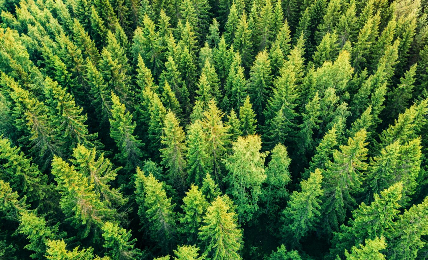
Remote sensing can help detect forest infestations
In the early 1900s, Chestnut Blight was accidentally introduced to the United States. Over four decades, the disease wiped out billions of chestnut trees in forests across the eastern part of the country.
A new study by researchers at the University of Connecticut Global Environmental Remote Sensing (GERS) Laboratory is focused on finding new ways to detect forest infestations as early as possible. The experts are investigating the use of remote sensing technology to detect subtle changes in the landscape.
According to GERS director Professor Zhe Zhu, the factors that result in landscape changes are not always as stark as land conversion, but can still be dramatic owing to the interconnectedness of food webs and ecosystems. Remote sensing technology, like satellites, can help alert scientists to these processes.
Postdoctoral researcher Su Ye was the lead author on a recent study focused on mountain pine beetle and spruce beetle infestations of pine trees in Colorado. He collected data on the ground in affected forests.
Ye said that by the time the signs are visible and it is clear that land change is imminent, it is too late to intervene.
“The signal happens mostly in short-infrared bands, therefore we have to rely on remote sensing measurements like Landsat to detect the signal,” explained Ye. “If we can detect these subtle signals at an early stage and have early warnings for these potentially forest change in future, then maybe we can apply some forest management in a timely manner. For instance, infected trees can be removed to stop the expansion of beetles to some degree.”
“I make a metaphor to describe this subtle change detection,” said Professor Zhu. “It’s like you’re in a very noisy restaurant and someone’s calling your name, you want to hear it, but other voices are at about the similar volume. How can we detect anything when everything is similar as this change signal?”
An algorithm called CCDC is becoming a standard for analyzing a series of Landsat images. The UConn team set out to address the limitations of CCDC by developing a more tailored approach.
“CCDC is the acronym for Continuous Landcover Classification and Change Detection and has been used by a number of agencies,” said Professor Zhu. “For one location – a single pixel – we can get dense time series observations with thousands of observations. We do a lot of preprocessing to remove cloud clouds, shadow, and snow and ice, we try to get a free, clear surface.”
By combining the data he collected on the ground with Landsat data from the same location, Ye developed a method called PIDS, or Parameter optimization, Index selection, Dynamic stratified monitoring, and Spatial consideration. He included specific details about the infestation stage and how the color of the pine and spruce needles changes over time after infection.
“PIDS is a framework to adapt CCDC to detect very user-targeted specific change,” explained Ye. “The framework lets the user specify their training samples for turning model parameters, as if we focus on the subtle change, we need to adjust our model parameters to capture the weak signals.”
Using PIDS, Ye said the researchers were able to detect signals of beetle infestation in the transition between two very subtle stages of infection where needles begin to change color, roughly one year after the beetle start to attack the trees. This is a significant improvement in sensitivity compared to using CCDC.
“PIDS is so good,” said Professor Zhu. “If you see the differences between PIDS and CCDC, PIDS is much better for those subtle change detections.”
“Remote sensing cannot directly do the decision making about the landscape and conversation, but as we are able to do it more near real-time, and at large-scale, this information can help with decisions and options,” said study co-author Kexin Song.
“Forest management policy has shifted from the replacement or harvest of forest to maintaining good, healthy trees in their current condition. Now that we can apply detailed information about subtle change in the forest degradation with this information, we can try to reach out to see how this information can change people’s minds about management. It is important, and we’ll keep doing this work.”
The study is published in the journal Remote Sensing of Environment.
–—
By Chrissy Sexton, Earth.com Staff Writer


