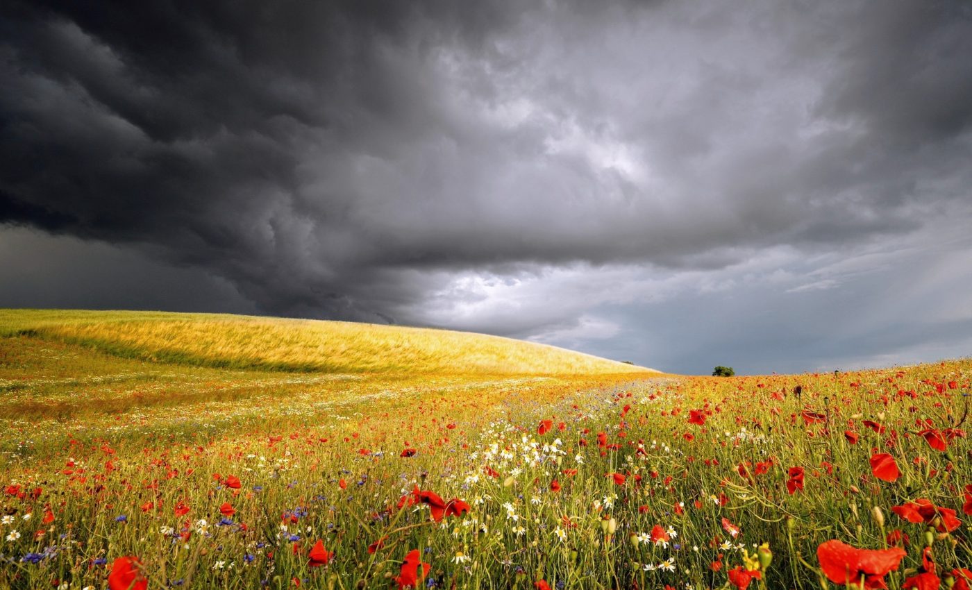
Extreme summer rainfall events have increased in the U.S.
The skies above America’s heartland have been getting increasingly volatile. Massive thunderstorms and extreme summer rainfalls have been dumping unprecedented amounts of rain across the central and eastern United States.
Backed by the U.S. National Science Foundation (NSF), recent research sheds light on the link between prolonged thunderstorms and these intense downpours. The study offers critical insights into one of the most dangerous weather phenomena: flooding.
Patterns of extreme summer rainfall
A team led by meteorologist Jason Chiappa analyzed high-resolution rain data that spanned 21 years, from 2003 to 2023.
The researchers identified instances where the rainfall within 12 hours exceeded the 10-year average for the area. The scientists termed these occurrences “extreme events.”
The analysis revealed a clear pattern: thunderstorms that linger for hours over the same region tend to produce extreme rainfall events that are responsible for many floods.
“This research will help improve daily and seasonal forecasts to help us understand health and safety concerns related to one of the deadliest consequences from extreme rainfall events – flooding,” said Chungu Lu, an NSF program manager who supported the study.
Complexity of long-term rainfall patterns
Chiappa’s analysis showed that while extreme rainfall events have generally increased over the years, they also exhibit annual variations.
“It is important for us to identify changes in the nature and frequency of these events and explore why some years have so many more extreme events than others,” Chiappa explained. This variability adds complexity to understanding long-term patterns and preparing for future risks.
Thunderstorms at the heart of these extreme rainfalls don’t follow a simple playbook. These storms often unleash their fury at night, a time when weather models struggle to predict them accurately. Convective rainfall, marked by its sudden and localized nature, poses a particular challenge.
Current global weather and climate models lack the resolution and timing precision to capture reliably such small-scale but high-impact events.
Challenges in prediction of extreme rainfall
Nighttime thunderstorms are a meteorological puzzle. Weather models, which excel during the day, falter when predicting nocturnal convective storms.
This limitation hampers our ability to forecast extreme rainfall events effectively. Understanding the mechanisms behind these storms and improving model accuracy remain key areas for future research.
The study doesn’t just stop at understanding the past; it opens doors to a safer future. By identifying trends and patterns in extreme rainfall, the findings can help enhance weather forecasting tools.
Accurate predictions can mitigate the devastating effects of flooding, and provide communities with the information they need to prepare and respond.
Flooding, already one of the deadliest consequences of extreme weather, could become more frequent and severe in a warming climate. The implications of the study extend beyond meteorology to public safety, infrastructure planning, and emergency response.
Future research on extreme rainfall patterns
While the study offers valuable insights, it also raises important questions. Why do some years witness significantly more extreme rainfall events than others? What roles do broader climate patterns play in shaping these variations? Chiappa and his team hope future research will uncover these answers.
As the climate continues to change, understanding localized extreme weather events becomes increasingly important.
The relationship between global warming and extreme rainfall isn’t straightforward, but studies like this one highlight the urgent need to explore these connections further.
Foundation for meaningful action
Extreme rainfall isn’t just a weather story – it’s a societal challenge. Floods devastate communities, disrupt lives, and strain infrastructure.
Recognizing trends and patterns in these events can provide policymakers and planners with the tools to build more resilient communities.
By improving our understanding of the forces that drive these storms, we can better prepare for what lies ahead. Whether through more accurate weather forecasts, improved infrastructure, or public awareness campaigns, this research provides a foundation for meaningful action.
A wake up call
The increase in extreme summer rainfalls over the past 21 years is a wake-up call. As scientists like Jason Chiappa and programs like the NSF continue to examine these phenomena, they remind us of the power of knowledge in facing the challenges of a changing climate.
The next time thunderclouds gather on the horizon, consider the layers of science and effort behind predicting their behavior.
While we can’t control the weather, understanding it better brings us one step closer to safeguarding our communities from its most extreme expressions.
The study is published in the journal Geophysical Research Letters.
—–
Like what you read? Subscribe to our newsletter for engaging articles, exclusive content, and the latest updates.
Check us out on EarthSnap, a free app brought to you by Eric Ralls and Earth.com.
—–


