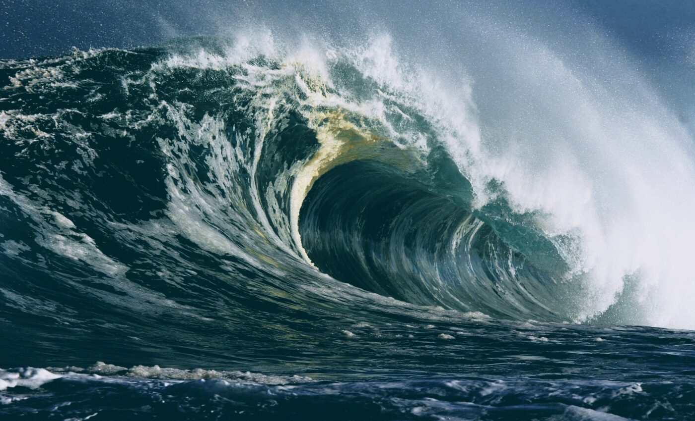
Distant storms trigger sneaker waves on the Pacific coast
On June 16, 2016, the Washington, Oregon, and northern California coasts were hit by multiple “sneaker waves” that flooded beaches, caused several injuries, and swamped a vehicle. These waves – also known as “wave runup events” – surge much faster on beaches than anticipated, often catching beachgoers unaware, sweeping them off their feet, trapping them against jetties or rocky shorelines, pushing heavy debris into them, and possibly pulling them into the cold waters when the waves rush back. Understanding the causes of these sneaker waves and developing a system for predicting them is thus crucial for public safety.
Now, a team of researchers led by the Oregon State University (OSU) has found that these events were likely fueled by a specific type of wave condition generated by far-off storms, paired with several conditions closer to shore.
“There are some things that are predictable about sneaker waves – we know they are more likely to occur in winter months, and that they are likely to occur in parts of the world where the continental shelf is narrow, such as the Pacific Northwest,” said study co-author Tuba Özkan-Haller, an oceanographer at OSU. “The more we learn, the closer we get to our ultimate goal, which would be to develop a warning system that is specific, accurate, and localized.”
The scientists examined multiple videos of the events that were posted on YouTube and, by using available scientific data such as wave height readings and wind speeds, they investigated what may have caused the series of sneaker waves in 2016. “The videos showed important general characteristics of the extreme runup events on this day – in particular that they were roughly five minutes from beginning to end. This information helped us identify their signals from tide gauges and also helped narrow down possible causes,” explained study lead author Chuan Li, who conducted this research as a doctoral student at OSU.
The analysis revealed a relationship between two types of waves: surface gravity waves, which arrive in sets and break on the beach, and underlying longer infragravity waves, which are longer waves fed by the energy created by gravity waves. When massive storms occur near Alaska or the South Pacific, they can give rise to conditions in which there is more time between the gravity waves, leading to longer and stronger infragravity waves. “The longer the wave is, the less likely it is to break. Instead, it sloshes up, like the water would if you’re getting into a bathtub,” Özkan-Haller said.
However, not all of these longer waves turn into sneaker waves. Other conditions, such as the weather near the shore, contribute to the emergence of dangerous sneaker waves. According to Özkan-Haller, “if these long waves are forming out in the ocean, but there is also a local storm, the wave field is jumbled, and sneaker waves won’t occur. When the wind is calm, the local weather is mild – a beautiful day on the beach – sneaker waves are more likely.”
Moreover, not all coastlines seem to be vulnerable to sneaker waves. In most cases, the narrow continental shelf and the potential for far offshore winter storms contribute to the occurrence of such waves in the Pacific Northwest. Further research is needed though to clarify why certain locations in these regions are more prone than others to sneaker waves.
The study is published in the journal Natural Hazards and Earth Systems Sciences.
—-
By Andrei Ionescu, Earth.com Staff Writer
Check us out on EarthSnap, a free app brought to you by Eric Ralls and Earth.com.


