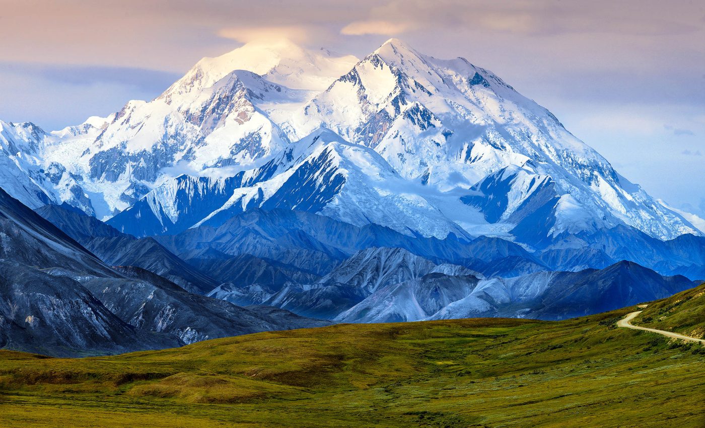
Scientists have finally learned how America's tallest mountain formed
The rugged landscape of Alaska often leaves people spellbound with its soaring peaks and dramatic valleys.
Many geologists believe that these mountains and valleys are more than scenic wonders. Interestingly, the Denali Fault plays a critical role in shaping this awe-inspiring Alaskan terrain.
Recent work has given a fresh perspective on how entire land masses may have drifted, collided, and fused, over long stretches of time, to form what we recognize today as the North American landscape.
The Denali Fault in Alaska
Scientists have debated how ancient fragments of the western margin of North America joined together. The Denali Fault, a massive feature that slices through Alaska, has been at the center of many investigations.
New findings suggest that three, seemingly separate geologic sites, spread along roughly 620 miles (1,000 kilometers), were once a smaller unit that signaled the final bonding of far-flung pieces of Earth’s crust.
Geologists propose that these linked sites were torn apart again over millions of years.
Unraveling tectonic mysteries
Experts have long focused on the northern North American Cordilleran margin, which has been tectonically active for over 200 million years.
Large fragments, known as exotic terranes, are present along the margin. They were once separate pieces of crust that occurred in locations far from the site where they now rest.
Wrangellia is among the biggest of these terranes; it was an oceanic plate that formed far away before docking with North America, tens of millions of years ago.
Over time, complex strike-slip faults like the Denali Fault have shifted and displaced these bits of crust, masking the full story of how they first fused to the continent.
“We’re starting to recognize those primary features involved in the stitching, or the suturing, of once-distant land masses to the North American plate,” said Regan, an associate professor at the University of Alaska Fairbanks’ Geophysical Institute and the UAF College of Natural Science and Mathematics (CNSM).
Shared tectonic history of Alaska and Yukon
A major clue in these findings is something called inverted metamorphism.
Typically, deeper rocks show higher temperatures and pressures, while shallower rocks show lower ones. Sometimes the order reverses, and rocks formed in hotter conditions appear above the cooler layers.
According to researchers, this phenomenon appears in the Clearwater Mountains of Southcentral Alaska, the Kluane Lake area of Canada’s southwestern Yukon, and the Coast Mountains near Juneau.
It became clear that all three of these independent, inverted metamorphic belts formed at the same time under similar conditions.
Inverted metamorphic belts often point to intense thrusting events, where layers of rock get shoved over one another in ways that defy the usual temperature and pressure patterns.
How the Denali Fault shook things up
Before this study, some geologists suspected that each region had its own separate story.
Regan’s analysis indicates that the three sites were once part of a single zone where the final merging of an ancient oceanic plate and the North American continent took place between 72 million and 56 million years ago.
The Denali Fault came into play when post-collision shifting rearranged these pieces, scattering what had been one geologic feature across hundreds of miles.
Researchers suggest that analyzing the movement along the fault reveals how these fractured pieces still fit together.
Monazite holds the key
Monazite is at the core of identifying the shared history of these three sites. This mineral contains lanthanum, cerium, neodymium, and sometimes yttrium.
“It is just the most special little mineral; it can participate in a lot of reactions, so we can use it as a way to track the mineralogical evolution of a rock,” explained Sean Regan.
Specialists measure slight changes in monazite’s composition to determine the timing and conditions of its formation.
Denali Fault and Earth’s tectonic activity
Beyond their technical significance, these discoveries remind us that Earth’s surface is far from static.
North America’s western margin has lived through episodes of oceanic plates, volcanic arcs, and shifted terrains that continue to shape the mountains and valleys seen today.
Researchers see the Denali Fault as a record of long-distance transport of crustal fragments, revealing the final act in the complicated docking of the Wrangellia Composite Terrane.
What happens next?
Many wonder how these findings will inform geological models of Alaska and Western Canada in future.
Geologists stress that further fieldwork, improved dating methods, and more collaborations are necessary to verify the timing and extent of major tectonic shifts.
Some plan to re-examine old mapping data or look at newly exposed rocks for additional clues. Even small details, like determining a rock’s age down to the nearest million years, may one day yield a clearer history of ancient movements.
—–
Like what you read? Subscribe to our newsletter for engaging articles, exclusive content, and the latest updates.
Check us out on EarthSnap, a free app brought to you by Eric Ralls and Earth.com.
—–


