Can cell phone signals help airplanes land safely?
Suspended 80,000 feet above New Mexico by a weather balloon, a pair of antennas juts out from a Styrofoam cooler, listening intently for signals that might improve air travel safety.
From this altitude, the transition between Earth’s blue atmosphere and the darkness of space is visible, but the focus of these antennas is not the view; it’s the experimental navigation technology being tested by researchers from Sandia National Laboratories and Ohio State University.

The goal is to develop a backup system that could keep airplanes on course when GPS signals are unavailable or unreliable.
Cell phone signals to assist GPS
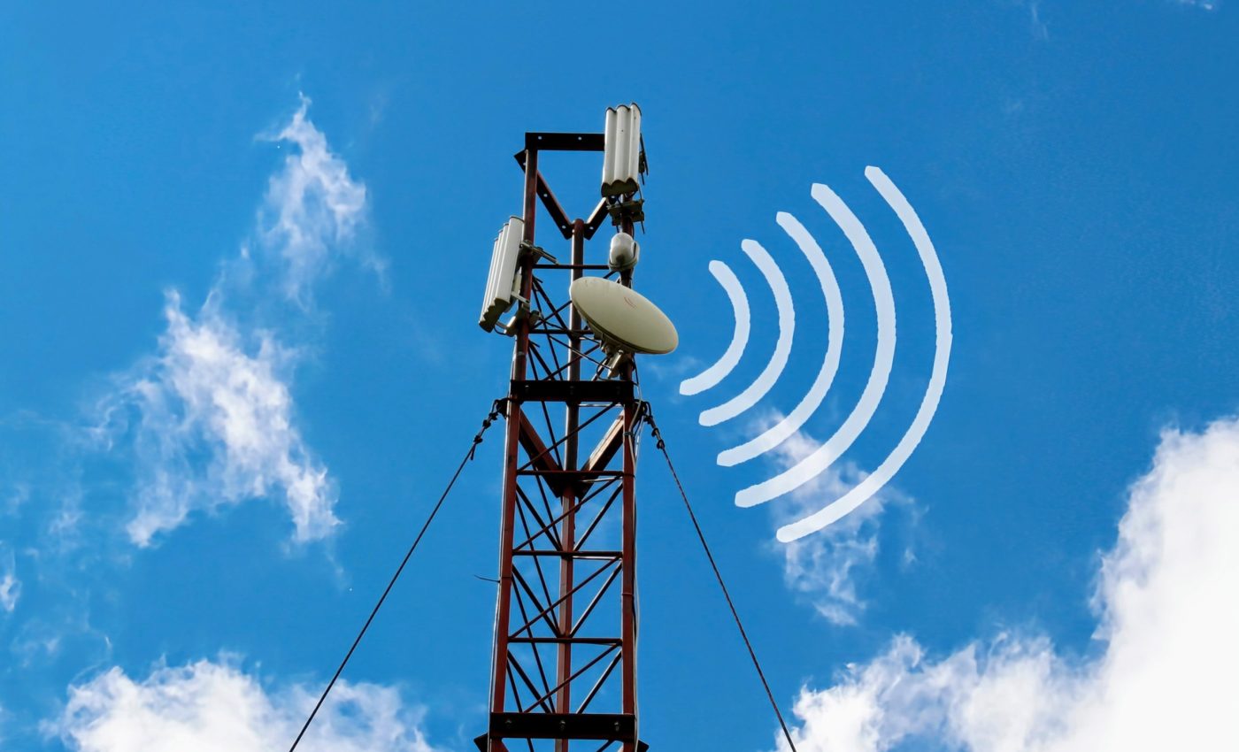
The idea behind this research is to use alternative signals – radio frequencies from cell phone towers and non-GPS communication satellites – to calculate a vehicle’s position and velocity.
“We’re not trying to replace GPS,” said Jennifer Sanderson, Sandia’s lead researcher. “We’re just trying to assist it in situations where it’s degraded or compromised,” which can pose risks to pilots and passengers if not addressed.
Why consider a GPS backup?
GPS remains the gold standard for navigation due to its speed, precision, and reliability, so why explore alternatives? “I worry about relying too heavily on it without a backup,” Sanderson, an expert in navigation algorithms, explained.
GPS is deeply embedded in the modern world, influencing activities ranging from aviation to agriculture and financial transactions.
This heavy reliance raises concerns about the impact of potential disruptions. “The impacts of losing GPS could be felt throughout society,” Sanderson noted.
Service interruptions and air safety
Interruptions to GPS service are not rare, especially near conflict zones, where pilots may find GPS unreliable or unavailable.
Prolonged GPS outages increase the risk of accidents. One threat is GPS jamming – devices that emit disruptive signals on GPS frequencies.
“Commercial GPS receivers are susceptible to a couple different threats, one being jamming,” Sanderson said, adding that while such jamming devices are illegal, they can still be obtained.
Another issue is spoofing, where false signals are sent to mislead GPS receivers. Although spoofing is often associated with gaming, Sanderson highlights that it can have serious consequences in aviation.
“Pilots might not be able to tell if a signal is spoofed or genuine, leading them in the wrong direction,” she said.
Navigating with “signals of opportunity”
The concept of using non-GPS signals for navigation, known as “signals of opportunity,” isn’t entirely new, but it has typically been studied near the ground, such as in urban areas where buildings block GPS signals.
Unlike GPS, where location information is embedded in the signal, signals of opportunity often require measuring the physical properties of radio waves, like the Doppler effect.
When a satellite moves toward a receiver, the radio waves compress, and as it moves away, they stretch. Using these changes, researchers can calculate their location relative to the signal source.
Sanderson’s team is pioneering the study of signals of opportunity at much higher altitudes. By collecting signal data from the stratosphere, they hope to develop a navigation method that uses a network of radio frequency waves at those heights.
“So, we strap our payloads to these weather balloons and launch them into the air,” Sanderson explained. These payloads consist of electronic equipment housed in an insulated foam cooler, containing antennas that collect data high above the clouds.
Inconsistent cell phone signals
This new method faces challenges, such as identifying and characterizing satellite and cell tower signals at these altitudes.
While satellite signals are strong, there can be gaps due to the cone-shaped transmission patterns that become narrower closer to the source.
Coverage over rural areas, like parts of New Mexico, may be inconsistent. Cell tower signal strengths can be estimated theoretically, but real-world conditions need to be tested.
“So far, the highest altitude we’ve reached is about 80,000 feet. In comparison, other studies we’ve seen have focused on 5,000 to 7,000 feet,” Sanderson said.
Precision in navigation research
As the team continues to analyze their initial data, they are focused on overcoming technical challenges and refining their methods.
Sanderson emphasized the importance of precision in navigation research. “The not-sexy but very important side of navigation is understanding all your error sources.”
Her aim is to build a comprehensive dataset that can be used to create algorithms for real-time navigation systems, leading to hardware tests with actual data gathered from these high-altitude flights.
Future of air safety
A key part of the project’s future is developing a system that can automatically match incoming signals to their transmitters and calculate a vehicle’s position and speed in real-time.
Currently, the team is manually matching signals to satellites, which is time-consuming. “It can be quite tedious. So, one big aspect we need to address is automating this process,” Sanderson said.
Despite these challenges, the scientists remain hopeful about the potential of their work.
“While we are still processing the flight data, we believe our preliminary findings indicate that we detected cell tower signal beacons at our peak altitude of about 82,000 feet,” noted Sanderson.
“If these signals are clean enough for navigation, it will significantly change what we thought was possible for alternative navigation.”
The team’s efforts could pave the way for a robust backup navigation system, providing a safety net for aircraft in situations where GPS is compromised, ultimately enhancing aviation safety and resilience.
The team’s preliminary findings were shared at the Institute of Navigation GNSS+ conference in Baltimore, from September 16-20.
—–
Like what you read? Subscribe to our newsletter for engaging articles, exclusive content, and the latest updates.
Check us out on EarthSnap, a free app brought to you by Eric Ralls and Earth.com.
—–


